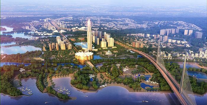
Hanoi approves Duong River Zoning plan
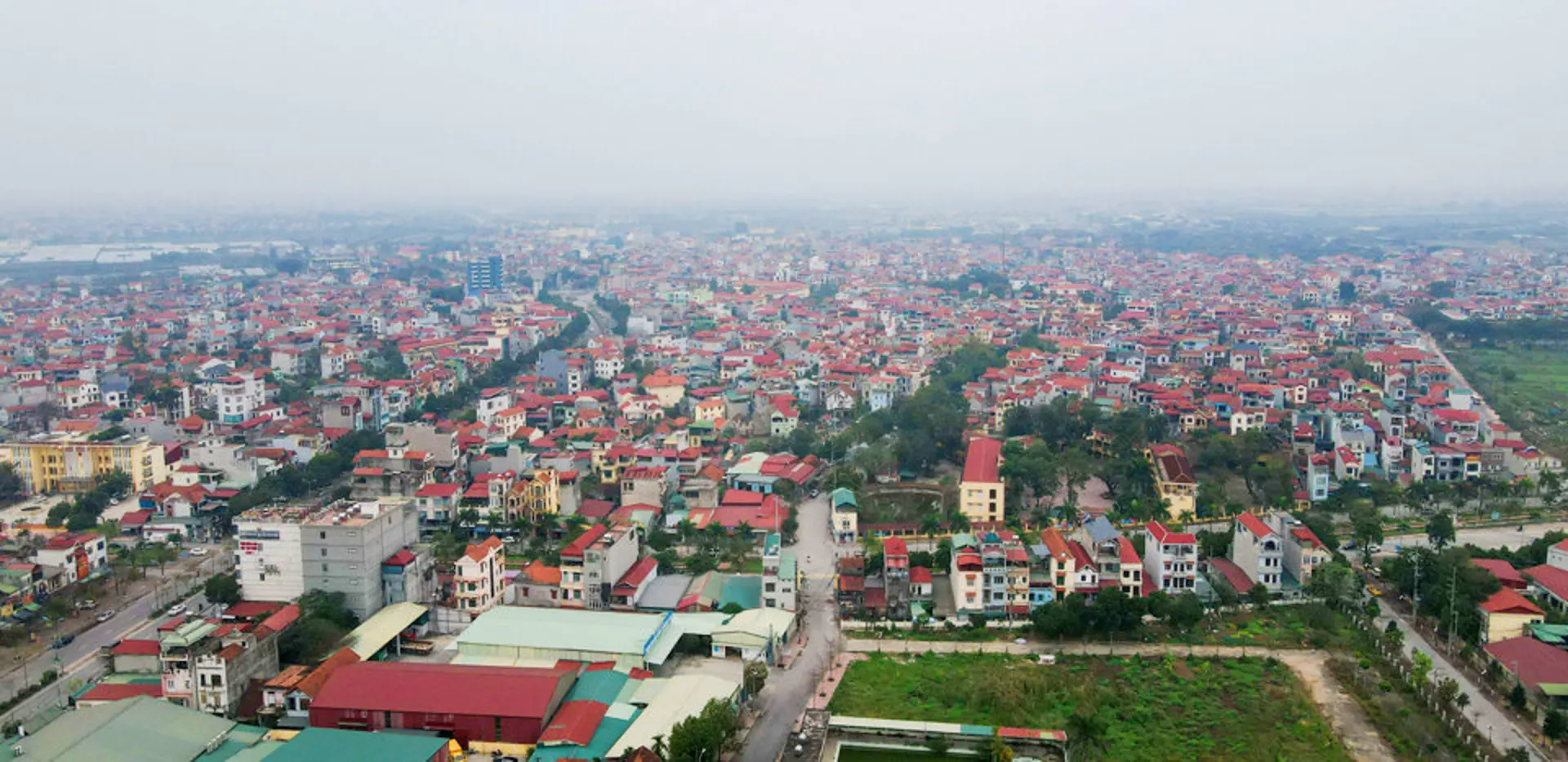
The plan would cover an area of 1,152 hectares that is expected to be home to 8,296 people by 2030.
Chairman of the Hanoi People’s Committee Chu Ngoc Anh signed decision No.1046 approving the Duong River Zoning plan, the section from Bac Cau Bridge to Phu Dong Bridge at the scale of 1/5000.
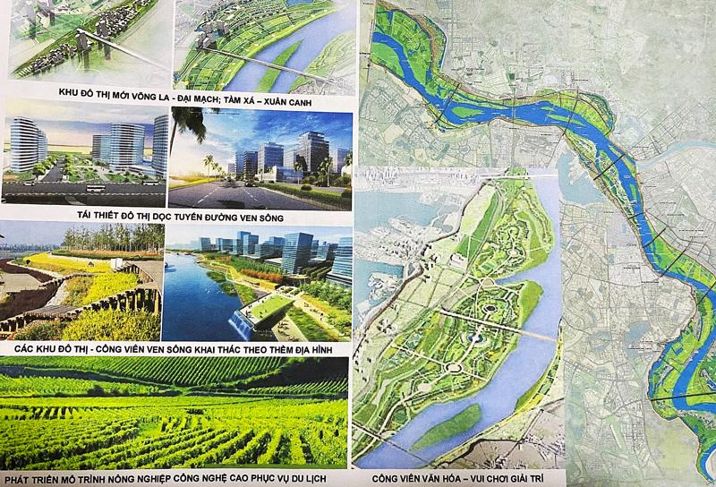
| The Duong River Zoning plan includes the Dong Tru Bridge. Photo: Le Viet |

The plan would cover an area of 1,152 hectares that is expected to be home to 8,296 people by 2030.
The North of the planned area is set to border the dykes on the left side of the Duong river and the N9 residential area in the districts of Dong Anh, Gia Lam; the South would face the dykes on the right side of the Duong river in Long Bien District; the West borders the Bac Cau Bridge and Red River Zoning plan; N10 residential area and the southern reaches Phu Dong Bridge.
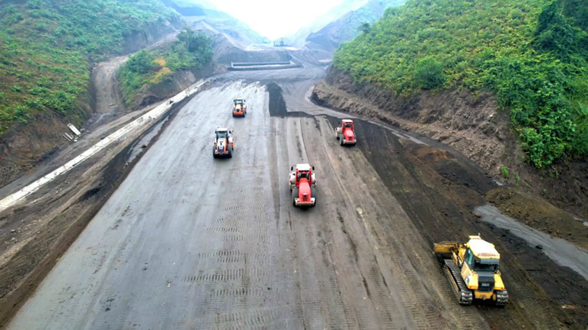
Hanoi is set to build a high-standard dyke system in the area to prevent risks of flooding and upgrade the waterway routes to bolster regional connectivity.
The available land portfolio in this area would be used for tree planting, as the city aims to preserve the natural landscape and historical sites for tourism.
In addition, Hanoi would build new roads alongside the Duong River, as well as bridges crossing it, to create a new growth engine for the area.
The authorities will look at upgrading infrastructures in existing residential areas in the plan, including Dong Tru village at Dong Hoi commune and Phuc Tho village (Mai Lam commune) in Dong Anh District.
Meanwhile, locals living in areas of Dong Ngan, Yen Vien, Thuong Thanh, and Ngoc Thuy would be relocated as the authorities consider them to be at high risk of flooding and landslides.
Following the announcement of the Duong River Zoning plan, the Hanoi People’s Committee requested authorities in the districts of Long Bien, Dong Anh, and Gia Lam to closely manage the protection corridor of the dyke system and prevent the people’s encroachment into the riparian area outside the dyke.